

IMAGE
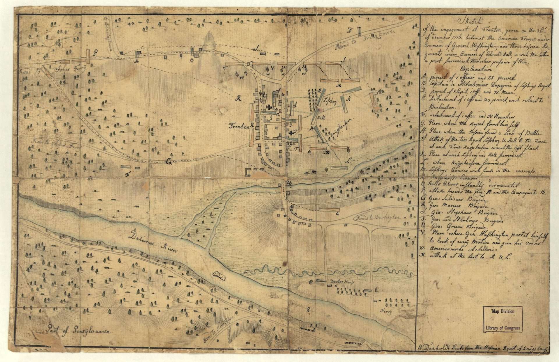
Sketch of the Engagement at Trenton
Hessian Corporal Andreas Wiederholdt drew this sketch of the Battle of Trenton (December 26, 1776), probably shortly after it took place. The blue rectangles indicate the location of British and Hessian forces, and the yellow rectangles show the movement of the Continental Army. The letter V, according to the key Wiederholdt provided, shows the “place where Gen: Washington postet himself to look of every motion and give his ordres.”


