

IMAGE
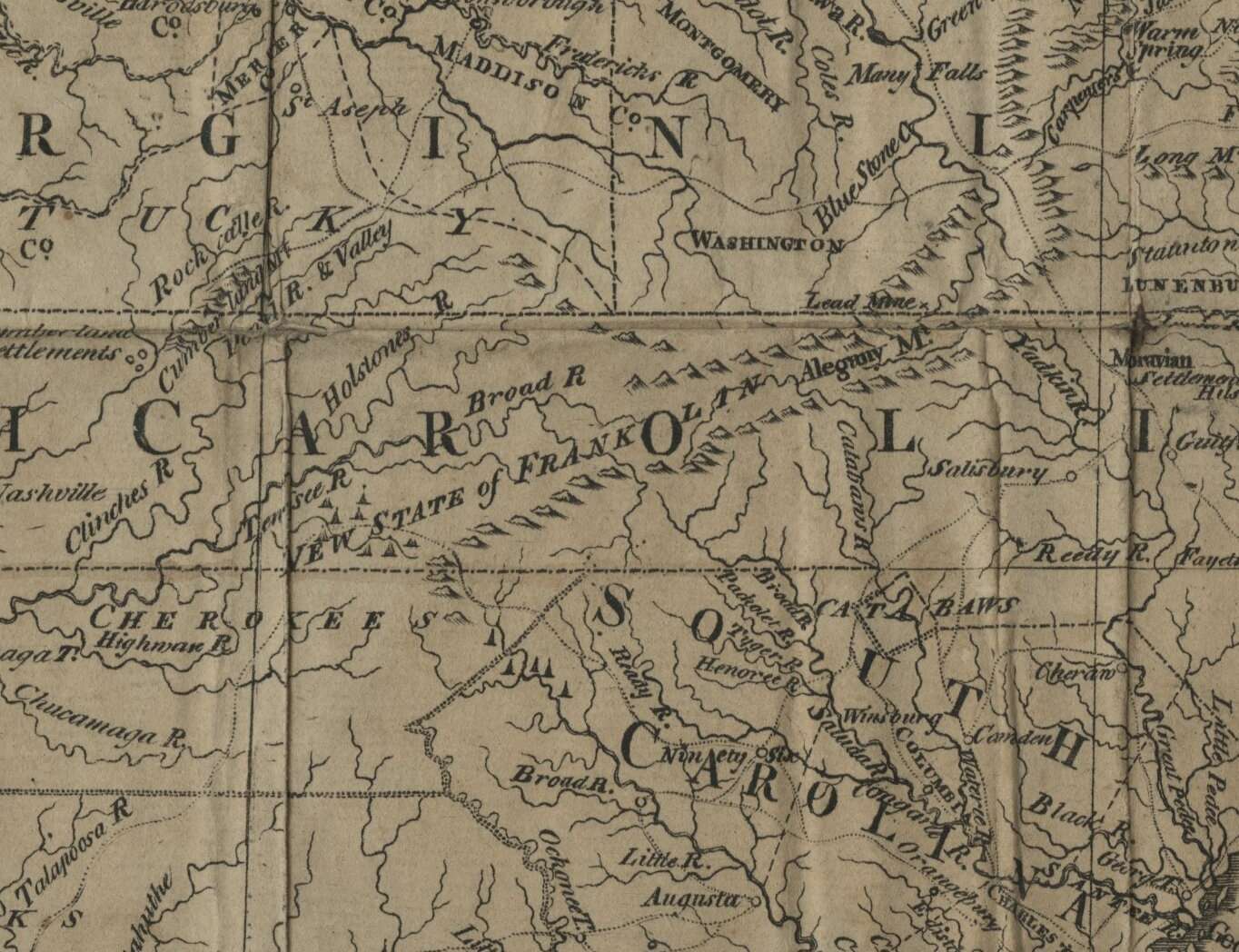
Detail from Map of the states of Virginia, North Carolina, South Carolina and Georgia
This map, made in 1788, includes a label for the “New State of Franklin,” a short-lived, self-declared, independent state located in what is now part of East Tennessee. In 1784, during a period of conflict between how the Confederation Congress wanted to handle western land claims and individual states preferred to do so, a committee of white western settlers in what was then part of North Carolina declared their counties to be a new state. Franklin maintained a turbulent existence until 1788, characterized by warfare with the Cherokee, attempts to be annexed by Spain, and the complete disapproval of Congress and North Carolina.


