

IMAGE
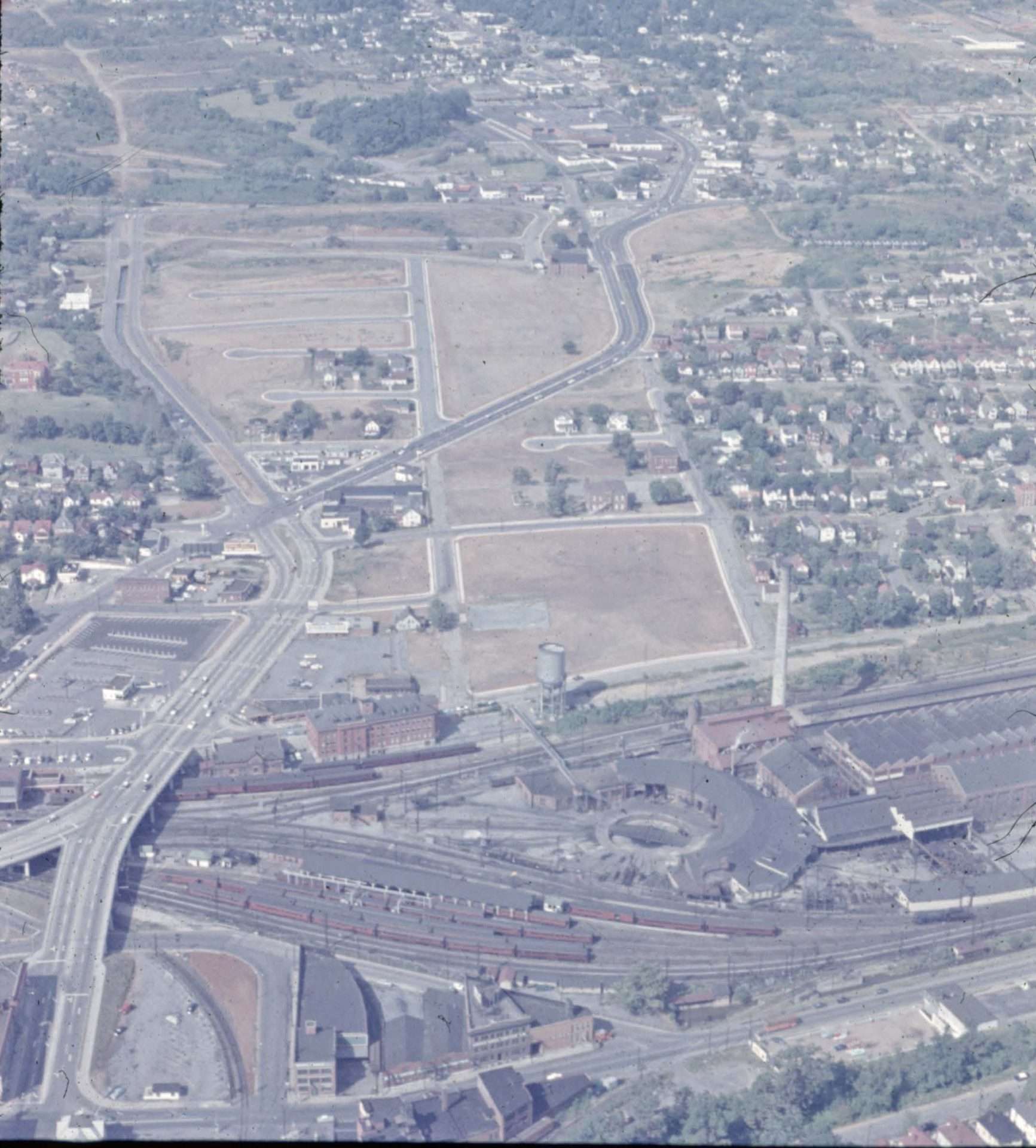
Commonwealth After Razing
This aerial photograph shows the aftermath of Roanoke’s Commonwealth Redevelopment Project, with the area between Second Street (now the I-581 corridor) and Commonwealth Road (now the Williamson Road corridor) almost completely cleared of all residential housing. The Roanoke Civic Center was later constructed in what had been the heavily populated Commonwealth neighborhood.


